Description
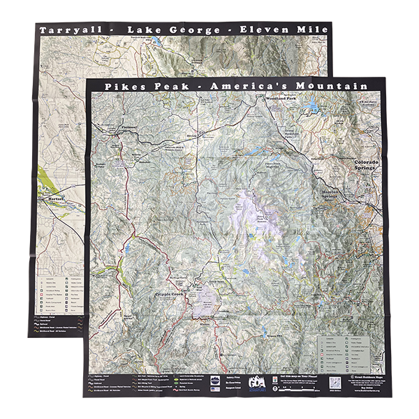
Great Outdoors Trail Map for Pikes Peak and Tarryall/Lake George/Eleven Mile
This map illustrates trails, scenic roads, public lands, and recreation sites in Pikes Peak (side one) and Tarryall/Lake George/Eleven Mile (side two) in Colorado. The map includes off-highway vehicle (OHV) trails and roads, trailheads, campgrounds, fishing locations, and non-motorized trails (hike, bike, and horse). The map is deisgned to be used by all outdoor recreation enthusiasts. The map is great for dirt bike and OHV riding, 4×4 riding, scenic driving, hunting, dispersed camping, mountain biking, hiking, and many more activities. We hope you find this Great Outdoors Map useful!
- Full Size: 27” x 28.5”
 Folded Size: 7″ x 7″
- Full Color: 2 Sided
- Tear-resistant, water-proof plastic
- Last update: 2022
Availability: In stock
Ships: Worldwide


