Description
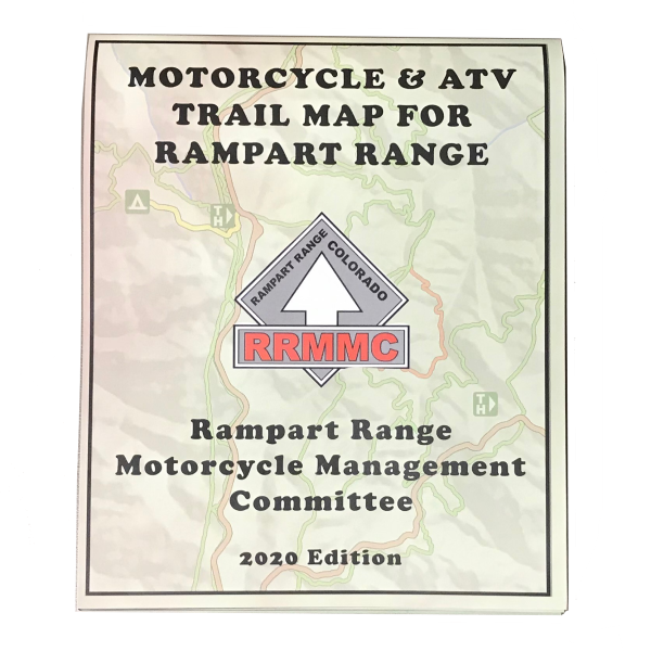
Trail Map for Rampart Range by Great Outdoors
2020 revision is here!
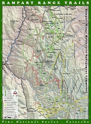
This map and guide to the Rampart Range Motorized Recreation Area (Rampart) located in South Platte Ranger District of Pike National Forest. The trail system is 35 miles southwest of Denver, Colorado with more than 150 miles of trails for off-road motorcycles and ATVs. There are also 27 miles of dirt roads open to these vehicles.
The map is provided by the Rampart Range Motorcycle Management Committee (RRMMC). RRMMC is an all-volunteer, nonprofit corporation founded in 1972 to work with the Forest Service to promote and preserve riding opportunities in the Rampart Range. The map is now distributed and was designed by Great Outdoors Consultants.
The official RRMMC trail map includes a simplified layout of the trails, trail numbering, naming and access information, and useful tips on the back. Proceeds go to maintain and support OHV opportunities the Rampart Range area.
- Full Size: 20” x 27.5”
- Folded Size: 5.4″ x 6.8″
- Full Color: 2 Sided
- Tear-resistant, water-proof plastic

Availability: In stock
Ships: Worldwide


