Description
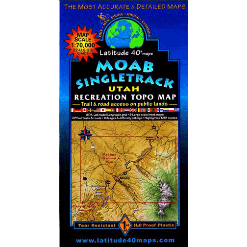
Recreation Maps for Colorado and Utah by Latitude 40 Maps
Founders Mary and Grant started Latitude 40 Maps in 1989 in the small mountain town of Nederland, Colorado. They had been cartographers since 1981, starting with college degrees in geography/geomorphology, specializing in cartography, the art and science of map-making.
- 39″x 25″ flat – 8″x 4″ folded
- Tear-resistant, water-proof plastic
- Trail descriptions for all types of travel, with degree of difficulty, length in miles, and elevation/distance and gain.
- Information about seasonal hazards, map reading, getting lost, etc.
- Contact information for National Forests, towns, recreation education groups
- Hundreds of miles of GPS-surveyed travel routes
- GPS mileage between junctions
- Latitude and longitude map borders with UTM coordinates
- Elevation/distance profiles showing loss and gain
- Fishing and campground information

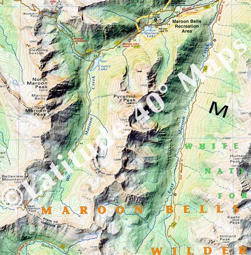
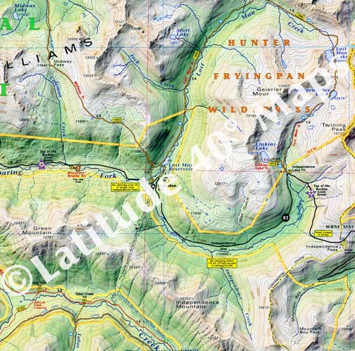
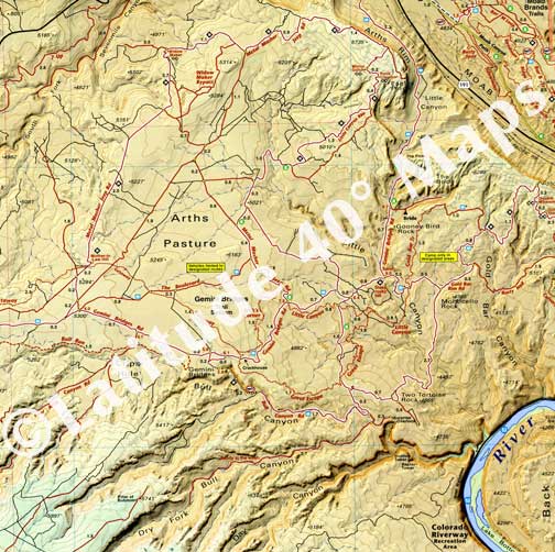
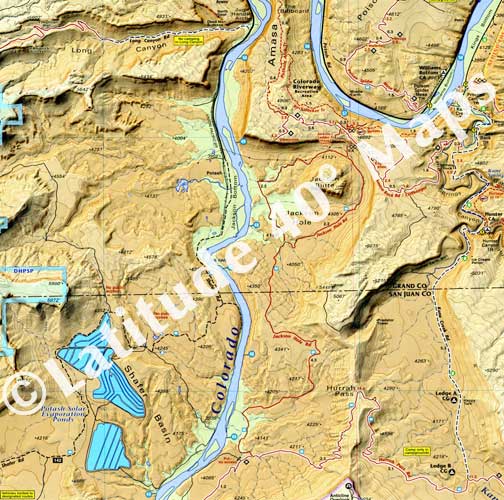
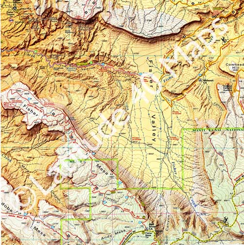
- Computer generated, 3-D, elevation-tinted images of the area
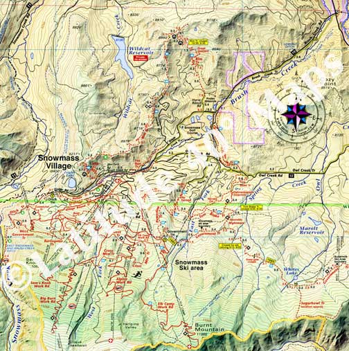
- highlighted public access hiking, mtn. biking, OHV, equestrian trails and roads
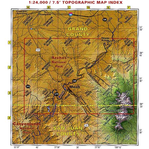
- 5-minute topographic maps
- Campgrounds, mountain parks and open space areas
Availability: In stock
Ships: Worldwide
